
High-Rez Aerials
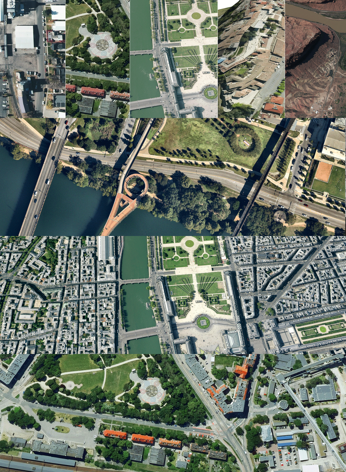
PlaceMaker’s most popular import is high resolution aerials. Easy to access with PlaceMaker, the aerials offer clarity for most major metropolitan areas and even remote locations. With Global coverage pick a country. We have aerials for it.
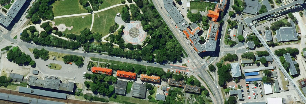
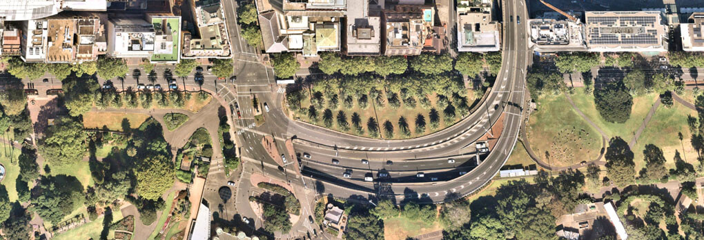
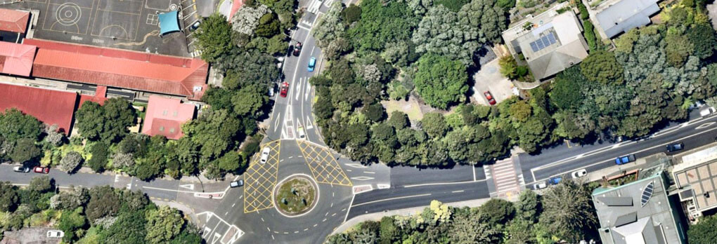
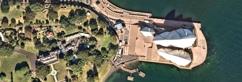
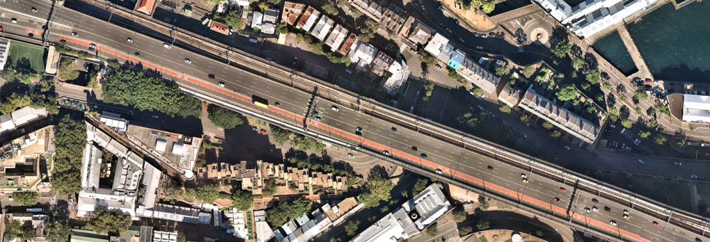
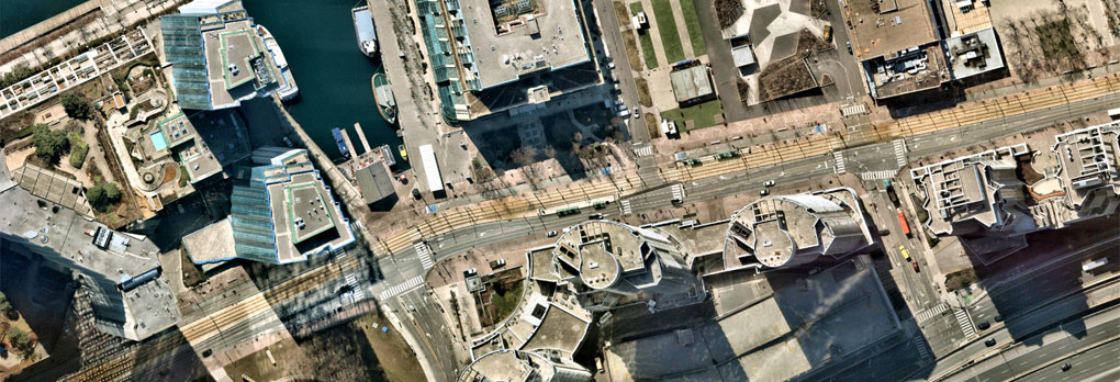
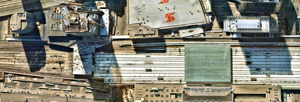
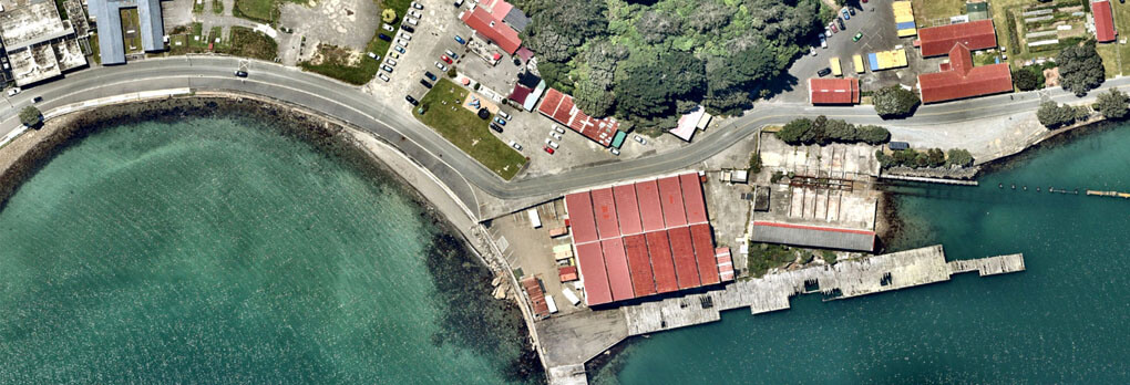
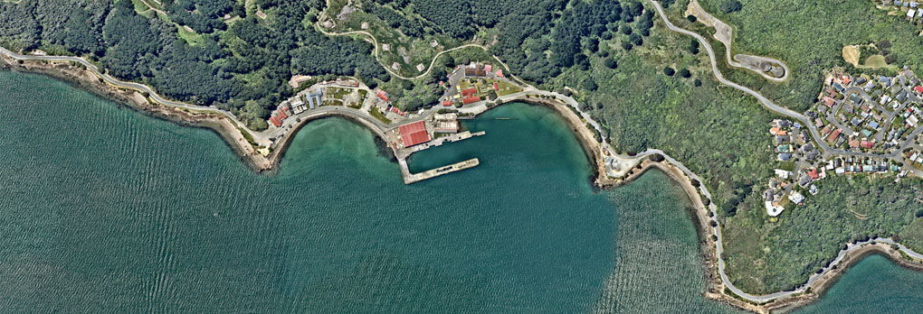
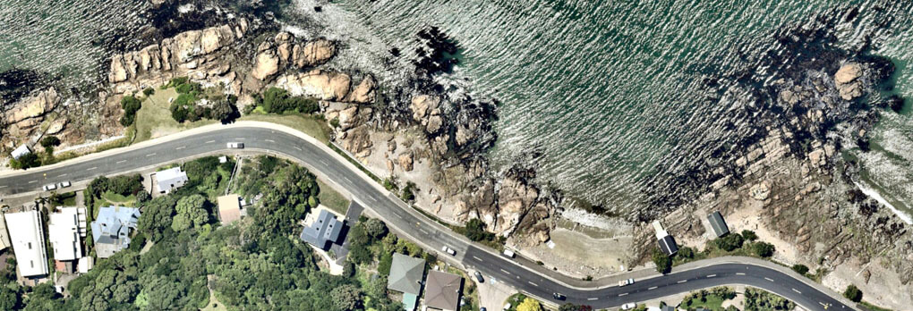


Example aerials from around the world including Canada, New Zealand, Poland, Australia, France, Spain and more.
The import process is quick and simple. Just buy some credits, navigate to the location you want to import, select your aerial sources (Mapbox which is Global and Nearmap which has super high rez for North America). Then, click the Import Imagery button.
PlaceMaker offers aerials from multiple sources as described below.
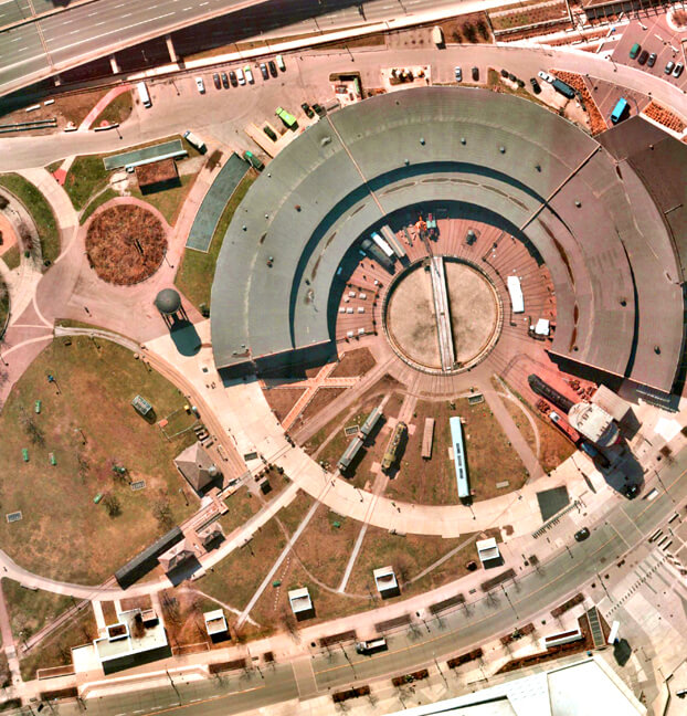
Mapbox
Mapbox offers crisp coverage of up to 7.5cm aerials. Intended to complement our Nearmap sources, Mapbox aerials are a more affordable options to getting quick, high quality aerials with global coverage.
Our must-check-out option – Mapbox is a great way to get started for almost any project in the world. And most other locations around the world that Nearmap and Hexagon do not cover.
Nearmap
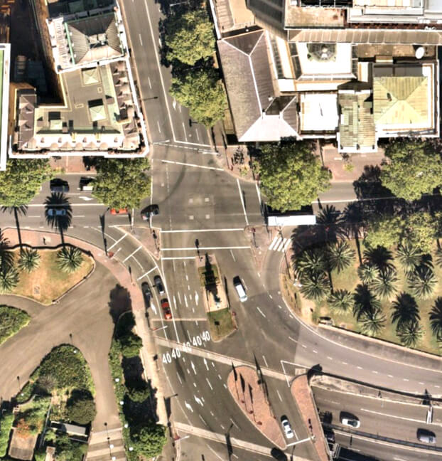
Super High resolution Aerials (up to 3.5cm) for the United States, Canada, Australia and New Zeland. Nearmap aerials can be imported with up to 3.5cm resolution. Nearmap captures urban areas multiple times per year (leaf-on and leaf-off), and new aerial images are processed and accessible by PlaceMaker within days of capture.
Nearmap allows import of precisely georeferenced, zero cloud cover, crystal clear, seamless, incredibly detailed, straight down imagery captured under the best possible conditions.
Hexagon
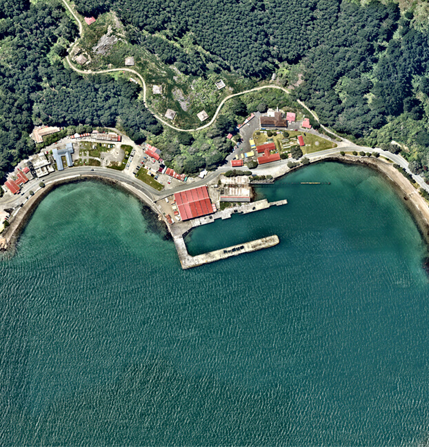
What Nearmap and Mapbox don’t cover or cover well, Hexagon provides. With crisp aerials for most of Western Europe: France, Germany, Scandinavia, Netherlands, Poland, Spain, Portugal and more. Plus, suburban and rural areas in the United States and Canada.
Hexagon fills in the gaps and expands the possibilities of the aerials PlaceMaker users have access too.